Author: Becky Rush
Report by BirdLife International
Rio Tinto, through the Rio Tinto – BirdLife International Partnership Programme, is providing funding until end 2015 for a pilot project on migratory bird conservation within the East Asian-Australasian Flyway (EAAF) to help achieve their commitment to Net Positive Impact on biodiversity, and to help safeguard seven species of shorebirds found at Rio Tinto managed solar salt operations in Western Australia. After exploring a number of different options using a novel framework developed by BirdLife, the Geum Estuary (Figure 1) in South Korea was identified as a project site due to its importance for migratory birds, the positive political environment and the conservation opportunities at the site (including through the development of ecotourism). Co-funding has also been secured. An MoU was signed between BirdLife and the local government (Seocheon County) in April 2014, and a workplan has been drafted.
In May 2014, Cristi Nozawa and Becky Rush of BirdLife International-Asia Division travelled to South Korea. During this trip, a contract was signed with Kwanmok Kim and Young-Min Moon, who will act as joint Project Coordinators in Korea. Cristi and Becky, along with Spike Millington and Minseon Kim of the East Asian-Australasian Flyway Partnership (EAAFP), also met with the Seocheon County Government, the National Institute of Ecology and the National Institute of Marine Resources, all of whom expressed support for the project and interest in being involved in the delivery of the workplan. A representative of the United Nations World Tourism Organization (UNWTO) was also present, as the Geum Estuary is one of eight sites in their new ‘Destination Flyways’ project aimed at conserving migratory birds through tourism. To top it off, thanks to Spike’s keen eyes, they even saw a Critically Endangered Spoon-billed Sandpiper during the trip to Yubu-do Tidal Flat in the Geum Estuary.
Geum Estuary, South Korea
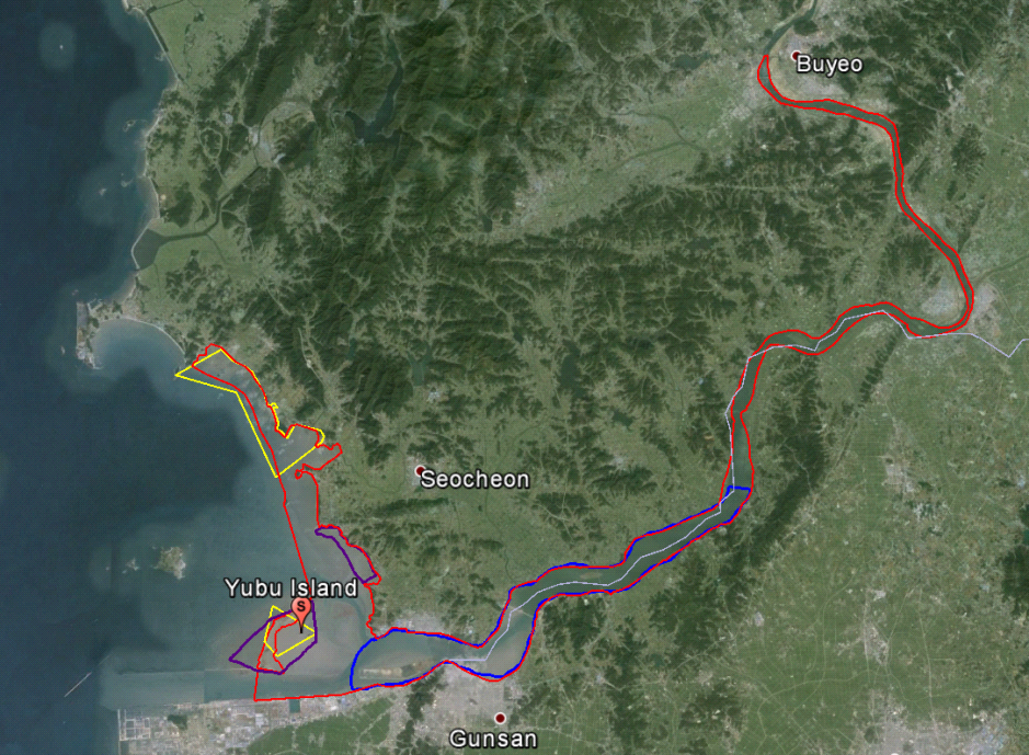
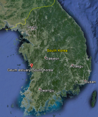
The location of Geum Estuary and the Yubu-do Tidal Flat. The red polygon indicates the boundary of the IBA, the yellow polygons indicate the Ramsar site boundary, and the purple and blue polygons are the two EAAFP Flyway Site Network boundaries (Yubu-do Tidal Flat and Geum River Estuary respectively). The pale purple line indicates the county boundary, with Seocheon County to the north and Gunsan County to the south. Inset is the location of Geum Estuary in South Korea. [Source: BirdLife International]
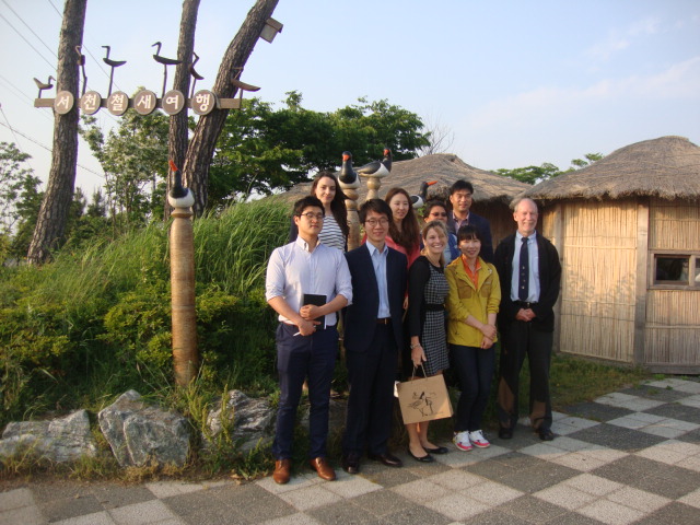
Trip participants outside the Migratory Bird Centre in Seocheon County
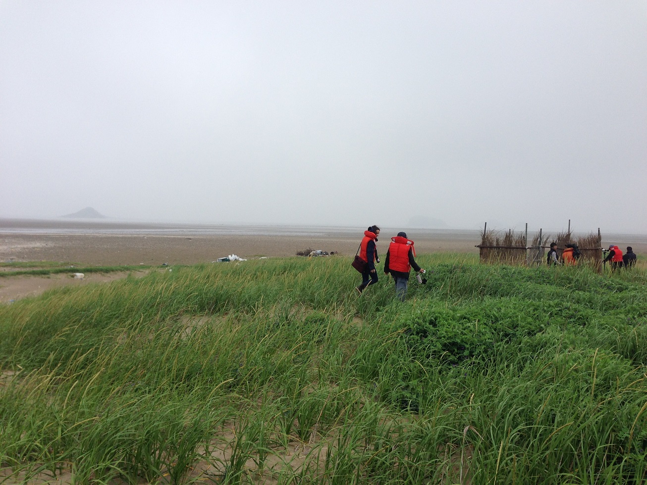
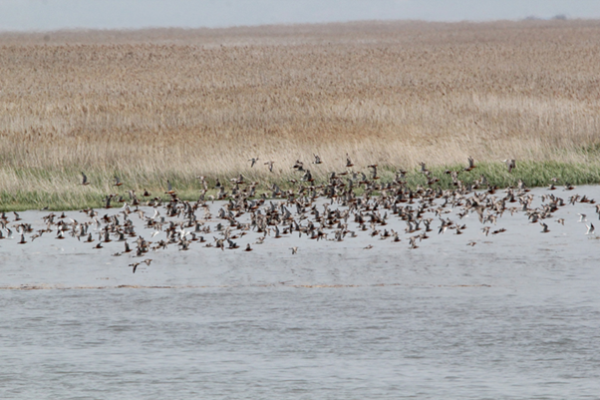
Trip participants headed to Yubu-do Tidal Flat and had the luck to see a Critically Endangered Spoon-billed Sandpiper and many other migratory waterbirds
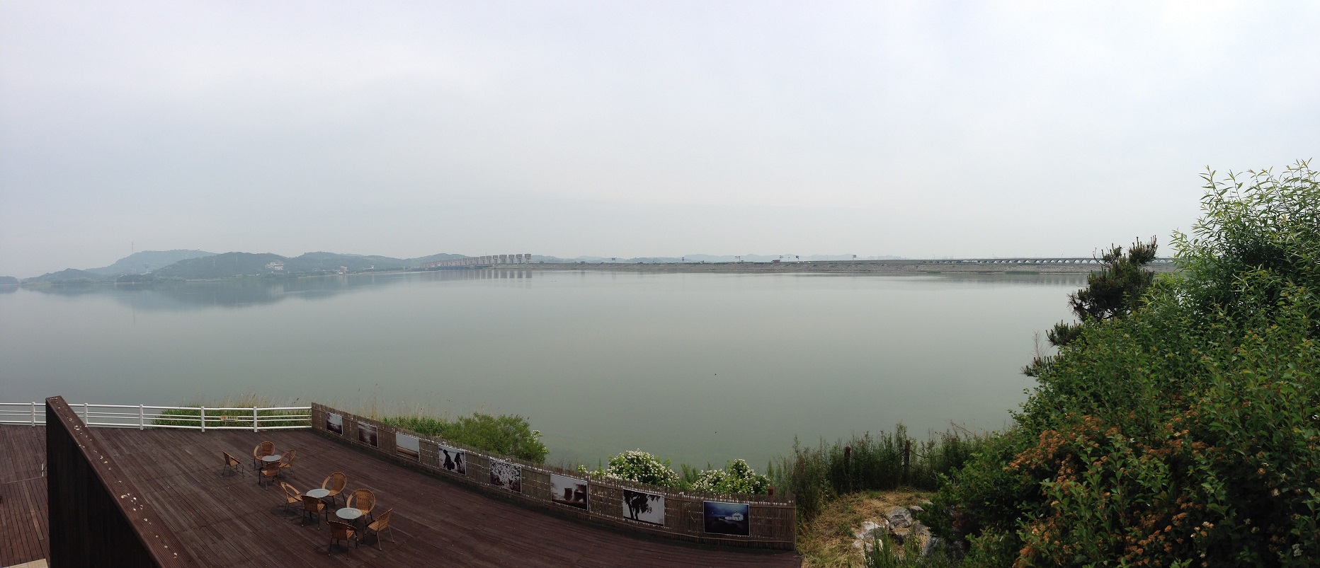
View of Geum River from the Migratory Bird Center at Seocheon County.
About Seocheon Tidal Flat: http://www.eaaflyway.net/seocheon-and-chongming-dongtan-selected-for-the-global-flyway-project-of-unwto/
Destination Flyways project: http://www.eaaflyway.net/destination_flyways/
Korean translated article: http://www.eaaflyway.net/birdlife-international-and-seocheon-county-signed-mou/